Interactive Examples
Copy-paste ready code examples to build powerful mapping applications. Each example includes a live demo, full source code, and detailed explanations.
Getting Started
Perfect for your first Barikoi map integration.
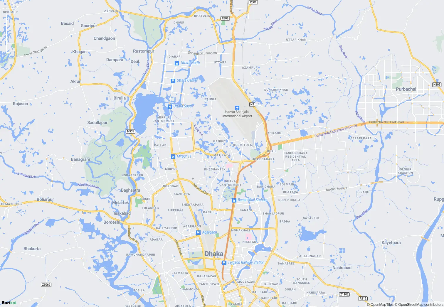
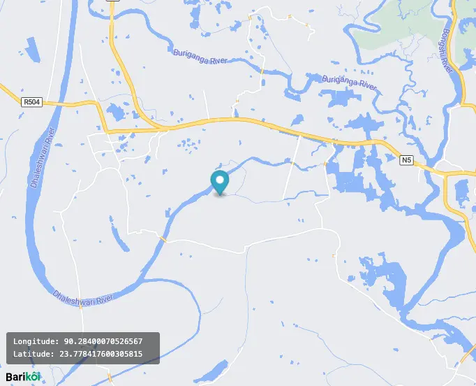
Display a Basic Map
Your first interactive map in under 10 seconds
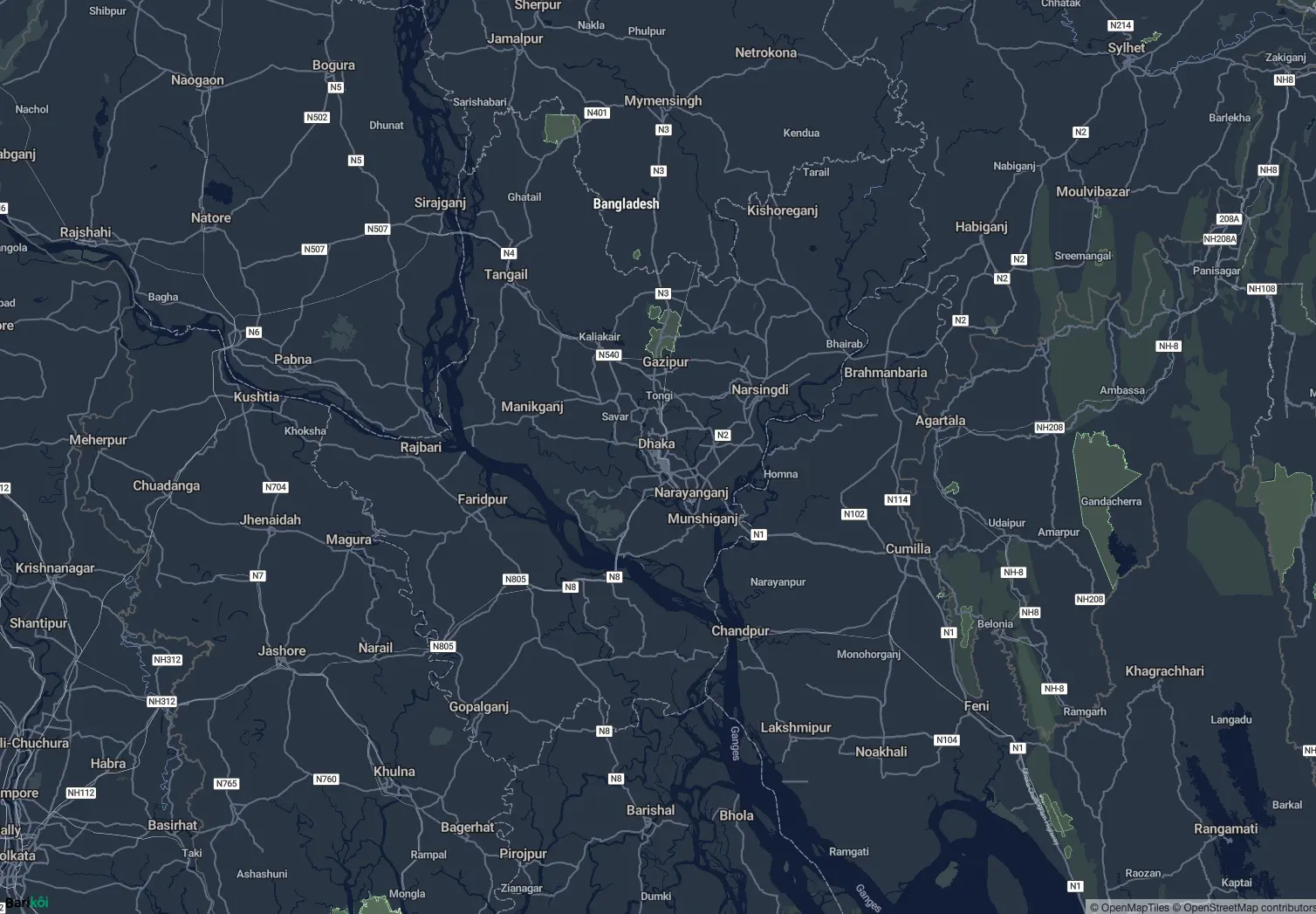
Custom Map Styles
Light, dark, and custom-themed maps
Map Controls
Zoom, navigation, fullscreen controls
Markers & Popups
Add interactive markers and information windows.
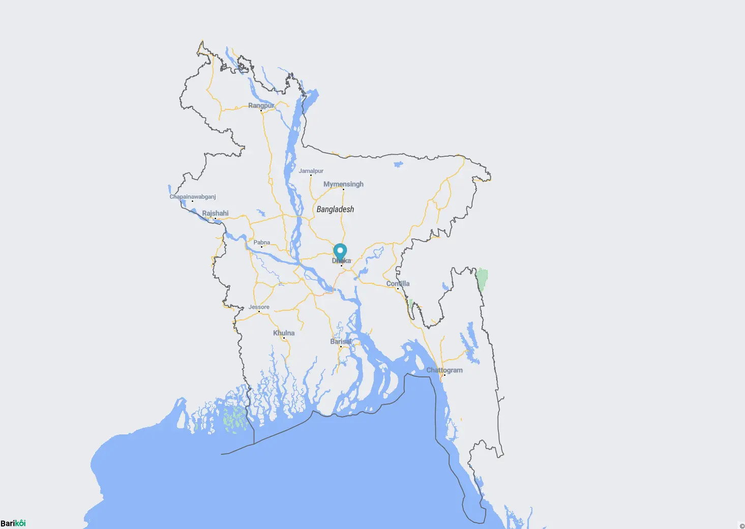
Add a Marker
Drop pins on specific locations
Draggable Marker
Markers users can move around
Click to Add Marker
Interactive marker placement
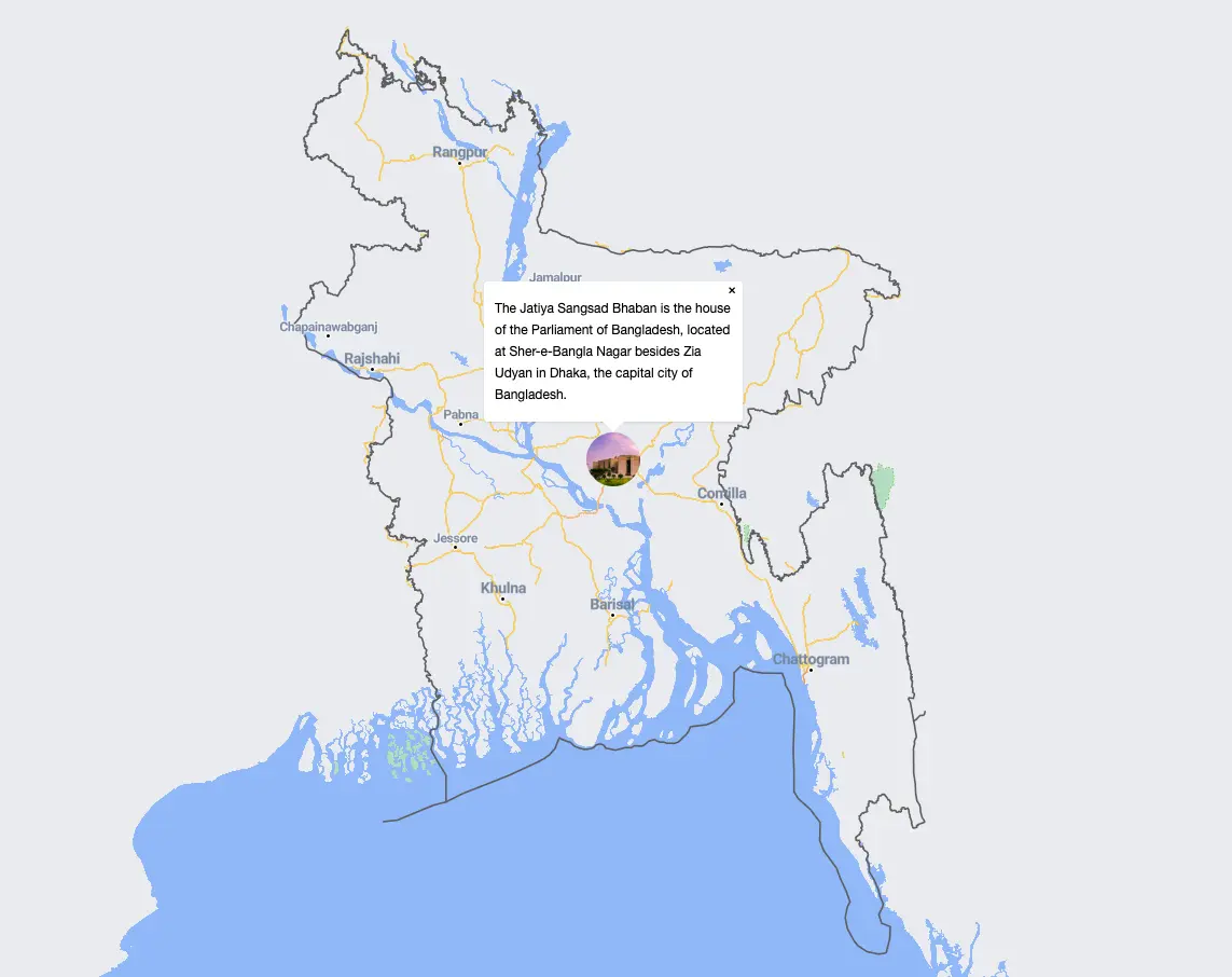
Popups & Info Windows
Display rich content on markers
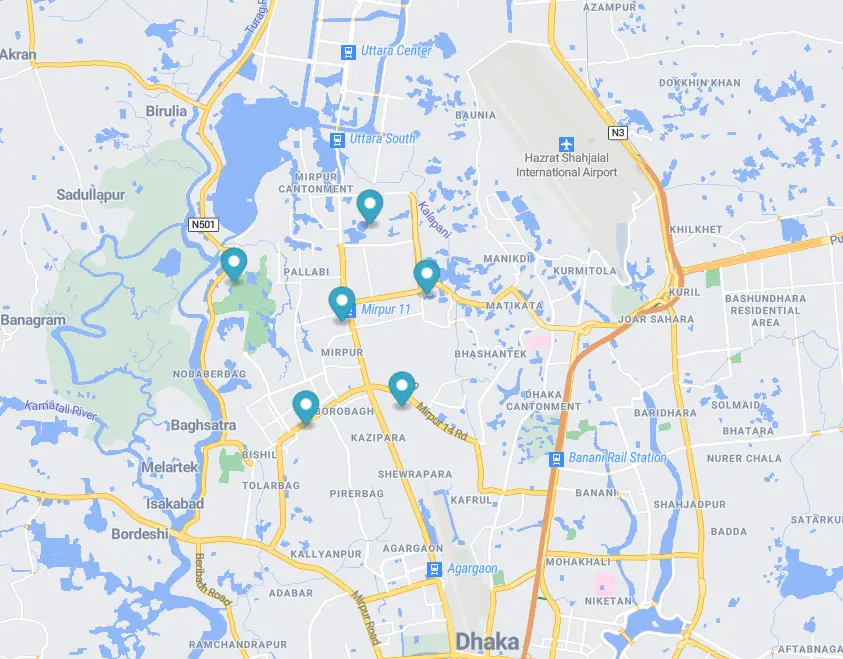
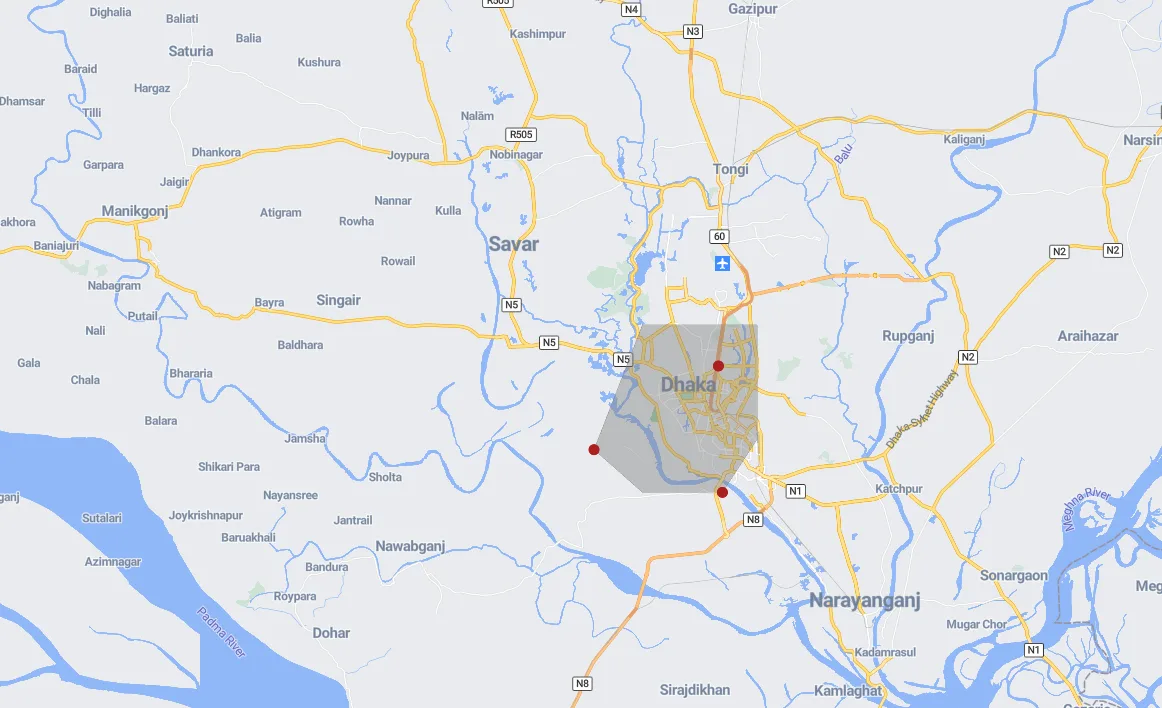
Multiple Markers
Efficiently display hundreds of markers
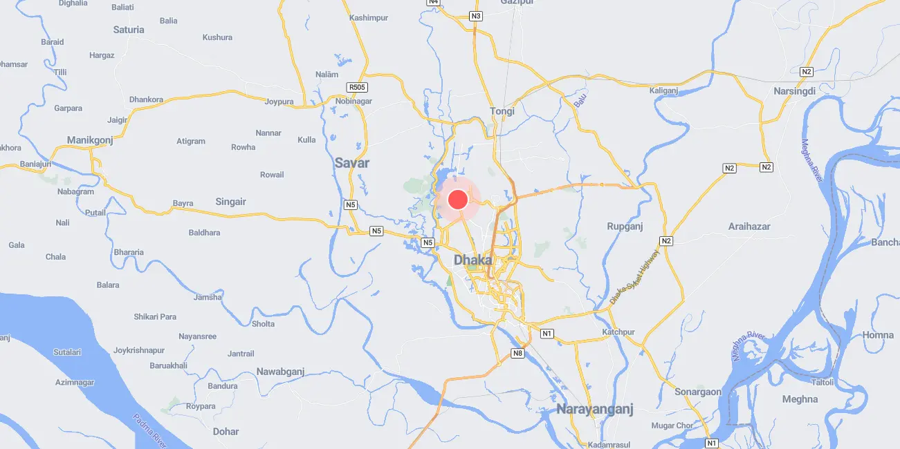
Animated Marker
Eye-catching pulsing effect
Layers & Styling
Work with GeoJSON, lines, polygons, and custom layers.

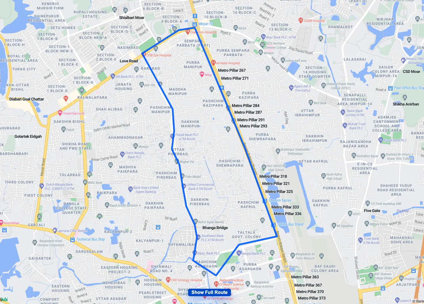
GeoJSON Lines
Draw routes and paths
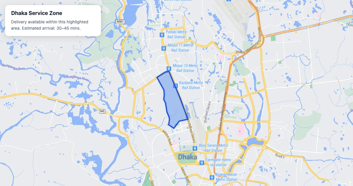
Polygons & Areas
Highlight regions and boundaries
Multiple GeoJSON Layers
Complex multi-layer visualizations
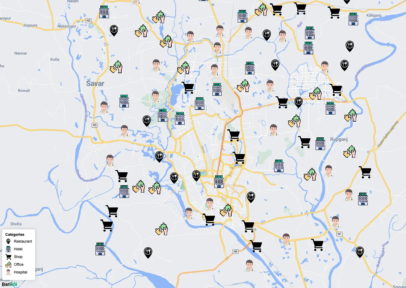
Custom Icon Layer
Use your own marker images
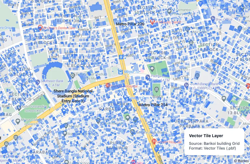
Vector Tiles
High-performance tile layers
Advanced Features
Real-time tracking, animations, and interactive tools.

Live Real-Time Data
Track moving objects in real-time

Animate Along Path
Smooth marker animation on routes

Camera Animation
Cinematic map movements
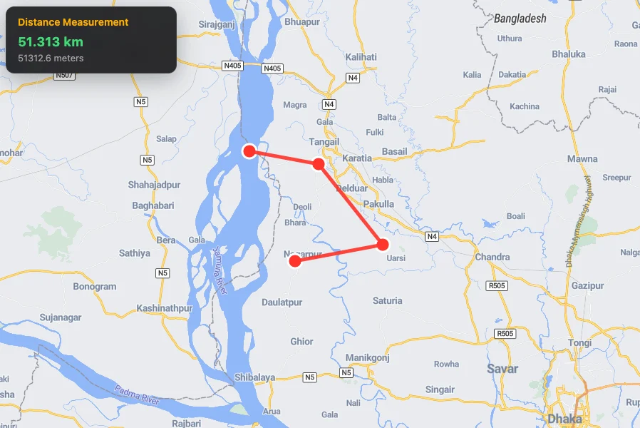
Measure Distance
Calculate distances between points
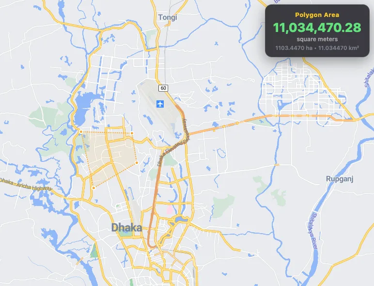
Measure Area
Calculate polygon area
Click to Center
Interactive map centering
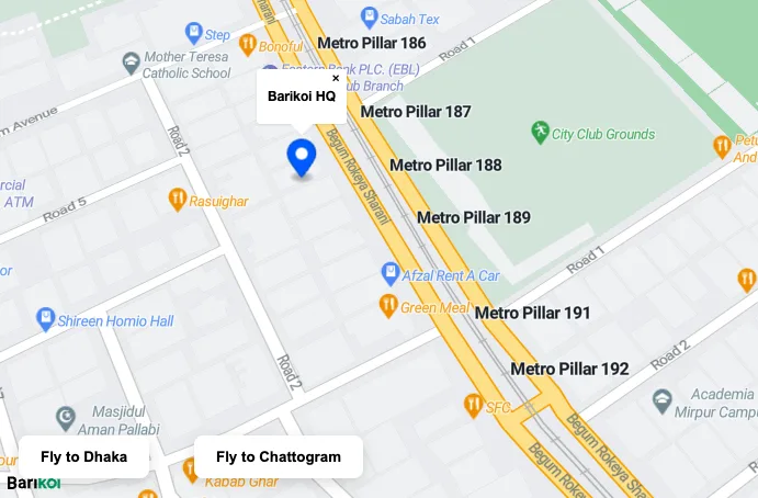
Fly to Location
Smooth animated transitions
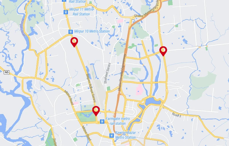
Fit Bounds
Auto-zoom to show all markers

Mouse Position
Display cursor coordinates